Written by Soudip
June 3rd 2014Other Places
You Are Here
Home > India > Shaniwar Wada, Pune Historical Facts and PicturesDaulatabad Fort Historical Facts and Pictures
Daulatabad Fort, also known as Devagiri Fort, is situated 16 kilometers northwest of Aurangabad district in Maharashtra, India.
The name Daulatabad, meaning abode of wealth, was given by Muhammad-bin-Tughluq, who after seeing the immensely strong fort, shifted his capital from Delhi to Devagiri city, in the year 1327. However, he reverted in this decision which led to the fort being passed into the control of the Bahamani rulers in 1347 followed by the Nizam Shahis of Ahmednagar in 1499. After this, the fort passed through several hands including the Mughals, the Marathas and the Peshwas. In 1724, the Nizams of Hyderabad gained control of the fort, retaining it till India’s independence.
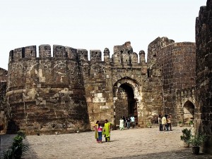
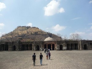
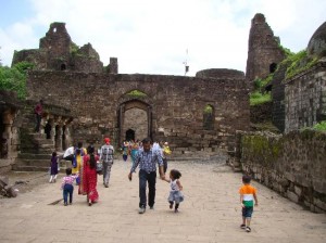
The fort stands on an abruptly risen hill with a height of 200 meters, the lower slopes of which were cut away by the Yadava’s to give the fort a 50 meter vertical height at the base. Three walls encircle the fort in a concentric manner acting as its primary defense, along with a moat and numerous bastions. The only way of access to the fort is through a narrow bridge with sufficient width for only two people. A gallery has been carved in the rock with steep stairs and on the top of this gallery is a provision for a large fire to hinder the enemy. Various specimens of massive canons are spread out at various intervals on the slope, facing the countryside.
Daulatabad Fort
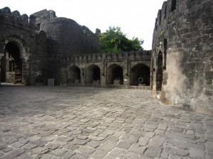
Daulatabad Fort Inside
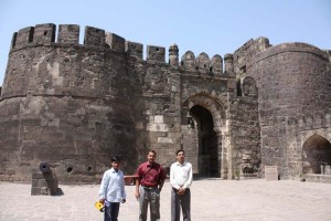
Daulatabad Fort Entrance
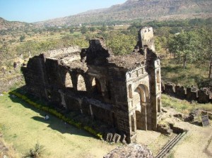
Other important structures within the fort are the Chand Minar, the Chini Mahal and the Baradari. The Chand Minar is a tower like structure constructed by Alauddin Bahman Shah in 1445, to commemorate his capturing the fort. Chini Mahal is the building where Aurangzeb had imprisoned Abul Hasan Tana Shah, the last ruler of the Qutb Shahi dynasty in 1687.
Category
IndiaWritten by Soudip
June 3rd 2014


